Beach Barrier Study
[Note: Underlined text indicates a link that downloads additional content.]
Location: Bluff Point State Park
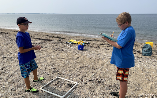
Carried by waves, currents, and wind, beach sands are in constant motion. Students will hike about a mile to the end of Bluff Point Coastal Reserve in Groton to the barrier beach. Students will measure elevation, percent cover of vegetation, and sediment type and layering along a transect running across the barrier beach from the Sound to a protected salt pond. Out on the bluff, while looking at the spectacular view across Long Island and Fishers Island Sounds, students will learn about the glacial history of Long Island Sound, local island formation, and deposition and erosion dynamics.


Alignment with Next Generation Science Standards
*Additional Resources for Teachers:
Read a small article about summer and winter beach profiles before you visit the study site. Students can use maps to identify barrier beaches in Connecticut. Challenge students to find the Bushy Point barrier beach at Bluff Point State Park!
*These are supplementary activities that can be used before or after Project Oceanology programs, designed to help teachers integrate their Project Oceanology experiences into the curriculum.
Data Analysis Activities
Create a barrier beach profile using the data collected during the field study. Students can create a beach profile representing the study site's geology and biodiversity. Use the resources below to create the beach profile.

